

SOUTH PEAK DISTRICT - 09/09/07
A walk on Axe Edge Moor and views of The Roaches and Tittesworth Reservoir are some of the places included in this page of photos from the Southern Peak District.
 |
 |
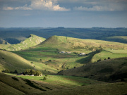 |
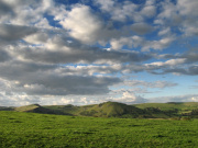
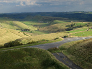
| Views above show the hills to the north of Hollinsclough including Chrome Hill and Parkhouse Hill. The photos to the right and centre were taken on a walk across Axe Edge Moor where the River Dove rises and flows south east towards Hollinsclough and through Beresford Dale and Wolfescote Dale before reaching the popular Dovedale area. The moor is also the source of the Rivers Manifold, Wye, Dane and Goyt and although bleak at first glance is a great place for a walk with Three Shires Head a short distance away and the remains of a long abandoned coal mining industry; the moor is located to the south west of Buxton. | ||
 |
 |
|
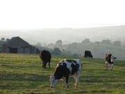
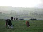
| A different terrain completely is found to the south east of Axe Edge between Hulme End and Alstonefield as the sun sets across misty farmland. | ||
 |
 |
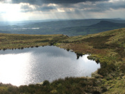 |
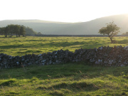
| More views from near Alstonefield and on the right the view from Blake Mere with The Roaches and Tittesworth Reservoir near Leek in the background. Blake Mere is on the edge of the Leek and Upper Hulme Military of Defence Training Area, you can find out more about the area and managed access for walkers by visiting the MOD access website by clicking here. | ||