 |
 |
 |
|
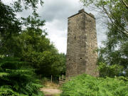
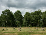
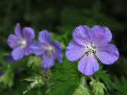
All three photos above were taken on a short
circular walk at Stanton Moor a few weeks ago. The photo in the centre shows
the Nine Ladies Stone Circle, so named after a legend of nine Ladies and a
Fiddler who were turned to stone for dancing and making music on the
Sabbath. Stanton Moor, located to the north west of Matlock includes many
other ancient monuments as well as more recent structures like the Earl Grey
Tower built in 1832 by the Thornhill Family, shown in the photo on the left. |
|
|
|
|
 |
 |
 |
|
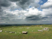
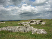
Arbor Low is another Peak District stone circle
pictured above; currently in the care of English Heritage is thought to date
back to the stone age. The circle, located on a farm, (small admission
charge) lies at 375m high with great views across the surrounding countryside,
it can be found to the south west of Bakewell close to the A515 Roman road
between Buxton and Ashbourne. |
|
|
|
|
 |
 |
 |
|
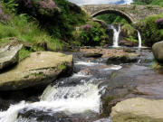
The Three Shires Head shown on the left is
where Cheshire, Derbyshire and Staffordshire meet as the River Dane flows
towards Gradbach. Our walk to reach here started at Wildboarclough from
where we walked towards the A54 road between Buxton and Congleton which we
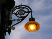
crossed before dropping down to the Dane. The other two photos were taken a
couple of evenings ago as the last of the days sun shines upon the Crescent
at Buxton. |
|
|
|
|
 |
 |
 |
|
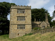
The three photos above were taken at North Lees
Hall near Hathersage. The hall is thought to be the model for Thornfield
Hall in the famous novel Jane Eyre after Charlotte Bronte stayed in the area
in 1845. |
|
|
|
|
 |
 |
 |
|
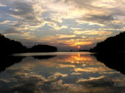
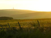
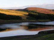
Evening scenes from left to right feature
Ridgegate Reservoir in Macclesfield Forest, a hazy view towards the Telecom
Tower on Sutton Common and Errwood Reservoir in the Goyt Valley. |
|
|

