

PEAK DISTRICT - 06/06/07
Evening photos from around the Peak District, including scenes from both Derbyshire and Staffordshire.
 |
 |
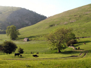 |
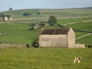
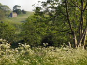
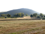
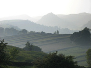
| The photos on this page, not taken from any particular walk all feature the White Peak area of the Peak District. The Peak District is split up into the high moorlands of the Dark Peak in the north and the White Peak in the south of the region, so called because of the light colour of the underlying limestone rock in the area. Above are images taken close to Hartington and Dovedale, close to Thorpe Village. | ||
 |
 |
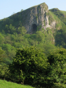 |
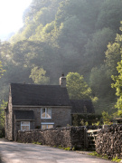
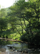
| A little further north along Dovedale and the photo on the left shows the picturesque Rose Cottage in the hamlet of Milldale. The other two images above, taken to the west of Dovedale are from the Manifold Valley and the River Manifold that runs through it. Overlooking the valley is the spectacular Thors Cave, (right photo) which is believed to have been inhabited by humans as long as 10,000 years ago and stands 360ft above the River Manifold. | ||
 |
 |
 |
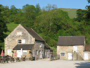
| Still in the Manifold Valley is Wetton Mill, dating from the 16th century. It is located just outside Wetton Village and was once used to grind corn but is today in the hands of the National Trust and in use as a popular cafe for visitors to the area including cyclists and walkers who are drawn to the Manifold track. The track is a nine mile route through the Manifold Valley along the line of a disused railway from Hulme End in north towards Waterhouses Village in the south, taking visitors through some of the most spectacular and beautiful scenery in the Peak District National Park. | ||