 |
 |
 |
|
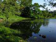
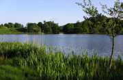
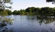
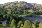
Photography from a circular walk around Loughrigg Tarn, located just West
of Ambleside near Skelwith Bridge. |
|
|
|
|
 |
 |
 |
|
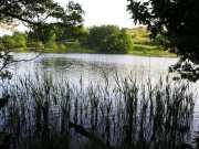
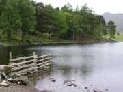
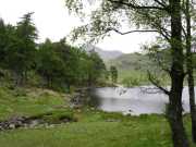
More images of Loughrigg Tarn and on the right Blea Tarn. |
| |
|
|
 |
 |
 |
|
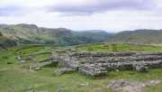
Blea Tarn is also located to the West of
Ambleside, on the right the remains of the Hardknott Roman Fort, looking in
the direction of Ravenglass. The fort was built with walls up to 12 feet
deep by Emperor Hadrian on a route between forts at Waterhead and Ravenglass.
Not much of the fort remains but what does survive gives you an idea of the
massive scale of the fort. |
|
|
|
|
 |
 |
 |
|
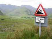
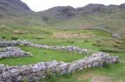
On the left the Hardknott Roman Fort again
with the Hardknott Pass in the background, 1 in 3 gradients and hair pin
bends on this road make it a tricky route for even the most experienced of
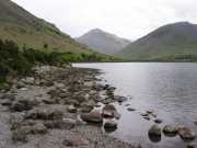
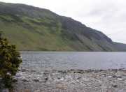
drivers, the fort is located about half a mile from the summit of the pass. Centre and right photos show Wast Water, Englands
deepest Lake, the lake is about 3 miles long and 260 feet in depth and is
away from the busy tourist centres in the Lake District in the picturesque
Wasdale Valley. |

