 |
 |
 |
|
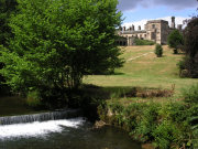
Unfortunately there is no public access to Ilam
Hall itself as it is in use as a Youth Hostel. The Hall was once home to the
Hanbury family, but as much as three quarters of the building was demolished
after it was sold to a demolition contractor, by a Mr Backhouse who briefly
ran it as a restaurant, until going bankrupt. The park lies on the Banks of
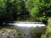
the River Manifold, shown in the centre and right photos above. There are
National Trust facilities here despite no access to the Hall, including a
tea room and shop, and today there was a small exhibition of photographs and
paintings. |
|
|
|
|
 |
 |
 |
|
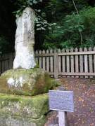
We follow a short walking route as featured on
a free leaflet that we obtained at the National Trust shop. The circular
walk lasts about half an hour and is fairly flat, taking you alongside the
river, past The Battlehouse, (as right photo, believed to be the shaft of a
Saxon cross) the 'Boil Holes' where the River Manifold re-emerges after
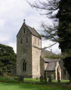
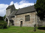
going underground for six miles and along 'Paradise Walk'. The photos on the
left and centre show the Church of the Holy Cross originally built in the thirteenth
century, but altered significantly since. |
| |
|
|
 |
 |
 |
|
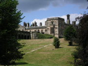
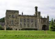
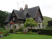
Left and centre photos show more views of Ilam
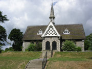
Hall as we head towards the village of Ilam itself, shown in the photo of
the right featuring the village school. The village as it is today was built
in the 19th Century in a Swiss style by the industrialist, Jesse Watts
Russell after the area reminded him of the Alps. |
|
|
|
|
 |
 |
 |
|
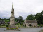
Centre photo shows a memorial cross that
dominates the centre of the village, it was erected by Jesse Watts-Russell
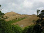
in 1840 to commemorate his wife, Mary. The photo on the right shows Thorpe
Cloud looking towards Dovedale. |

