

BODMIN MOOR - 09/09/06
This page features photos from a short walk in Cornwall on Bodmin Moor starting from Minions Village. The Village is located to the north of Liskeard towards the south of Bodmin Moor.
To visit the other pages from Cornwall please click here.
 |
 |
 |
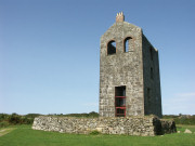
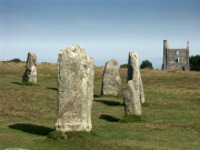
| Our circular walk started from Minions village which is the highest village in Cornwall at over 300m above sea level. The photos above feature the Minions Heritage Centre which has been converted from an engine house of the South Phoenix Mine and displays information and history about the surrounding area. The Hurlers as shown in the centre photo are a group of three Bronze Age stone circles thought to date from 2500BC - 1800BC, the name 'Hurlers' is thought to originate from a legend where men where turned to stone for playing hurling on a Sunday | ||
 |
 |
 |
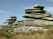
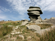
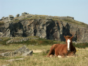
| A short distance from the Hurlers and Minions are the unusual rock formations located on Stowes Hill. The photo on the left features the Cheesewring rock formed by glaciation and erosion over thousands of years, there is a local legend however that the rocks were formed in a rock throwing battle between saints and giants in Cornwall. The granite rocks are on the edge of the Stowe Quarry with great views across Cornwall and Devon. Rocks from the quarry have been used in the construction of famous locations such as the Embankment and Tower Bridge in London. | ||
 |
 |
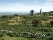 |
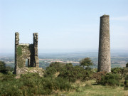
| There are reminders of the areas industrial past around the moor with the remains of engine houses which were used to mine tin and copper and the quarries, now a popular location for rock climbing. In Minions Village at the start and end of the walk there are facilities for the visitor including car parking, a store, pubs, cafes and toilets. To see another walk from Bodmin Moor click here to see photographs and information about Rough Tor, Cornwall's second highest point. | ||